

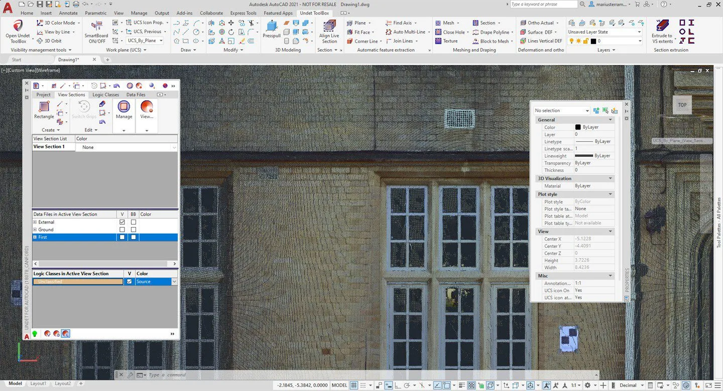
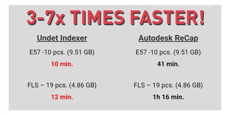
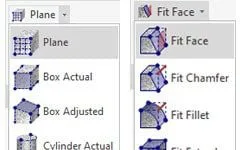
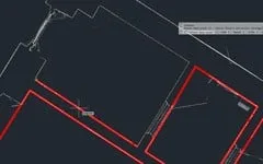
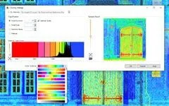
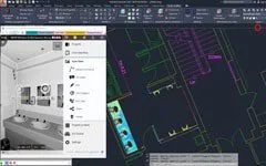
Undet for AutoCAD
$2,265.00 NZD +GST / year
Description
You may also like…


Related products
-

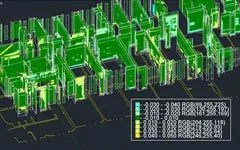
Undet for Revit
$2,265.00 NZD +GST / year More Info -

AESUB 3D Scanning Spray
Price range: $85.00 NZD through $95.00 NZD +GST More Info This product has multiple variants. The options may be chosen on the product page