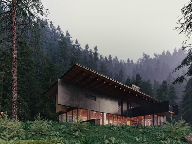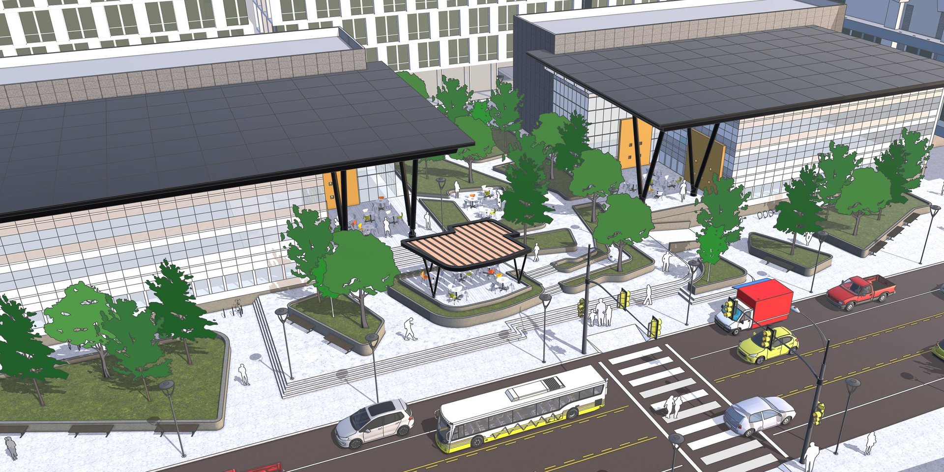
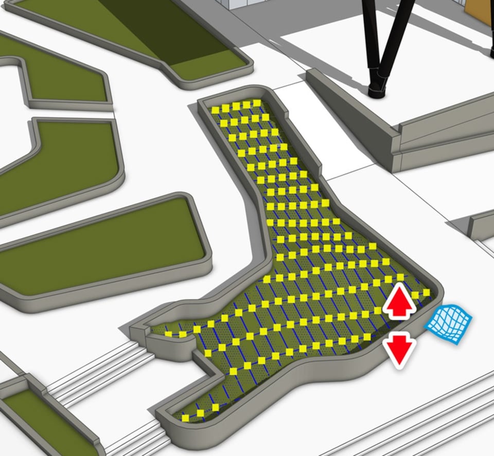
Model terrain and site context
Turn contours into surfaces, bring in aerial context or survey data, and refine platforms, paths, swales and slopes in the same model.
Create a workable terrain surface, drape hardscape over it and cut clear site sections.
Geo-locate the model or import CAD and scan data so the proposal sits in a recognisable place.
Use terrain tools such as Artisan when the design needs more control over grading and organic forms.
Design a rich landscape without weighing the model down
Use reusable site components and controlled planting distribution to build the right level of detail for each design stage.
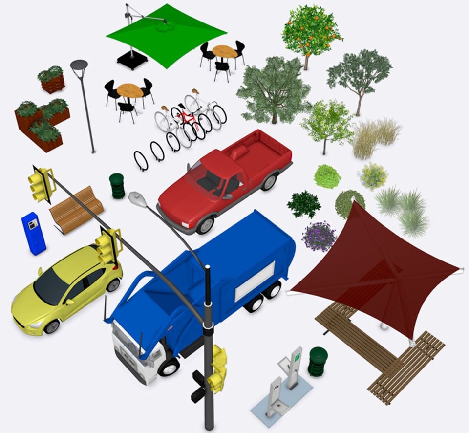
Source vegetation, furniture, vehicles and site elements from 3D Warehouse or your own component library.
Use Skatter to control planting mixes, density and edges without placing every object by hand.
Study light at different dates and times, then use stills or walkthroughs to show how the place will feel.
Clear evidence for site decisions
Make the proposal legible from plan to eye level
Use views from the same model to explain both the technical site response and the experience of moving through it.
Shadow studies
Show how planting, structures and neighbouring buildings affect sunlight at the dates and times that matter.
Sections and earthworks
Cut through terrain, levels and built elements to explain slopes, retaining and access.
Stills and walkthroughs
Take clients and reviewers through the site so scale, sequence and outlook are easier to judge.
The landscape toolkit