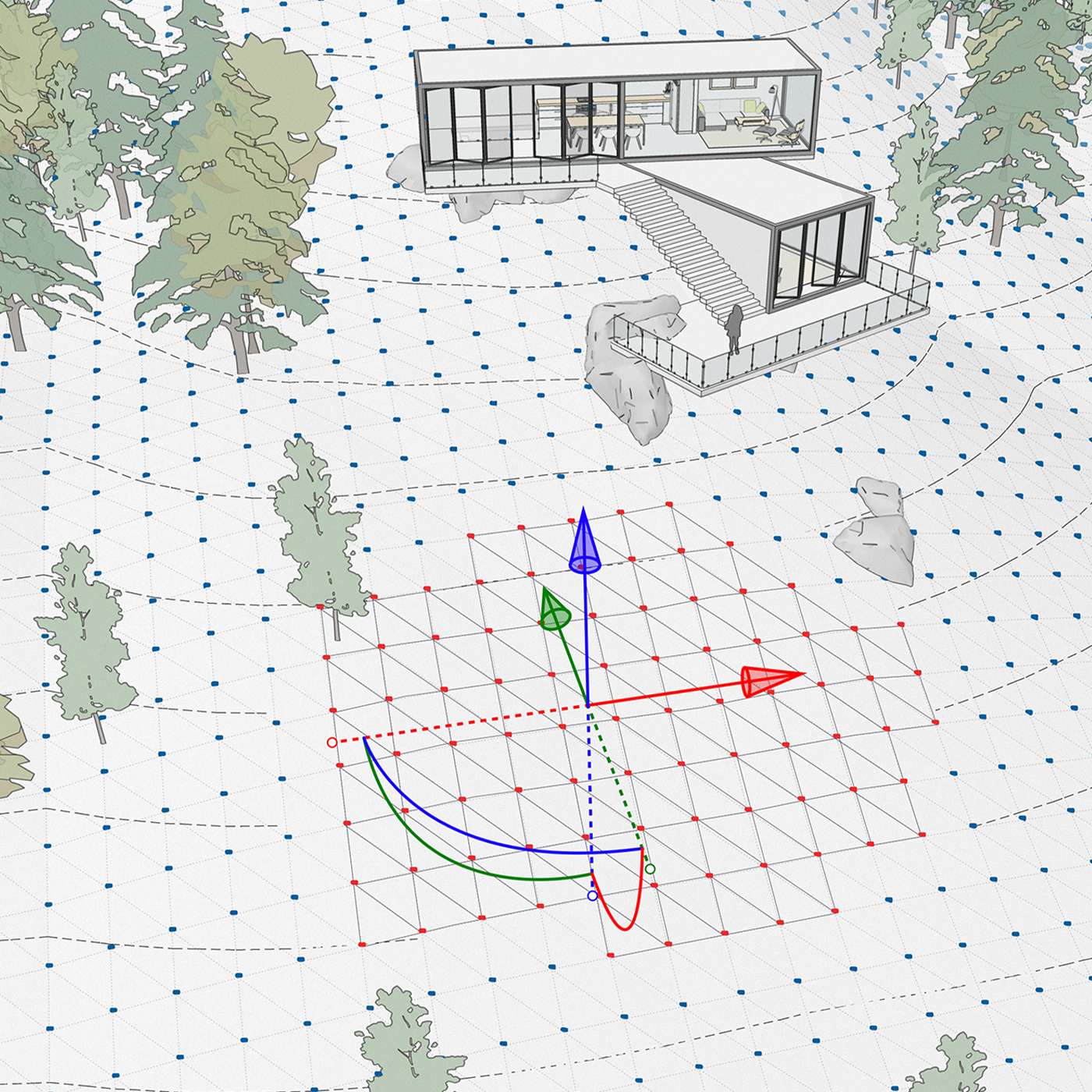
Specify longitude and latitude and pull in terrain imagery directly into your model with a click of a button.
Use one of many third-party solutions to produce jaw-dropping renderings. Reflections and photo-real textures are only an extension away.
V-RAY is the highest quality rendering software for landscape architects & designers and has been the industry standard for many years. V-Rays strengths lie in its configurability, power, and wide compatibility with other software. Extensions are available for all popular 3D programs.
– Annual subscription license
– Free locally based NZ support
– Access to updates released in your subscription period
– Annual subscription license
– Free locally based NZ support
– Access to updates released in your subscription period
– Includes V-Ray + other apps
– Free locally based NZ support
– Access to updates released in your subscription period
– Annual subscription license
– Free locally based NZ support
– Access to updates released in your subscription period