Description
Improve and speed up 2D/3D modelling
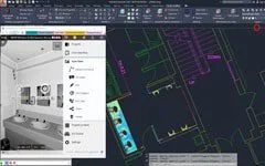
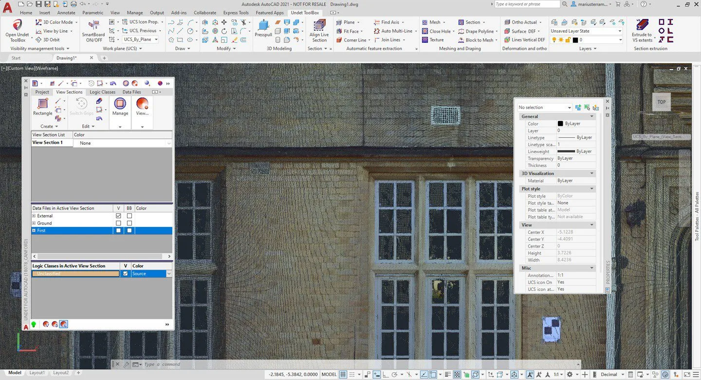
UNDET quickly locates and visualizes point cloud views of any size in the AutoCAD environment, regardless of the 3D measurement equipment and photogrammetry software used: Faro, Trimble, Leica, Z+F, Reigl, Topcon, DOT Product, PIX4D, Autodesk Recap, Agisoft, RealityCapture, DroneDeploy, 3DF Zephyr…
By using the UNDET plugin, you will enhance your workflow and speed up the following kinds of point cloud-related projects:
- 2D drawings, floor plans, building elevations and sections extraction
- 3D concept & 3D mass modelling
- 3D site & topographic modelling
- Ground surface modelling
- Deformation analysis
High performance and easy to use
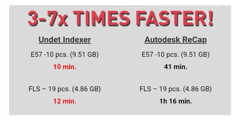
Fast indexing (project creation time)
Create an UNDET project from your point cloud data 3 – 7 times faster than using Autodesk ReCap software (comparison video).
Skip Autodesk ReCap and start working faster!
Features
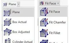
Automatic Feature Extraction
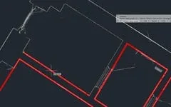
Auto Multi-Line
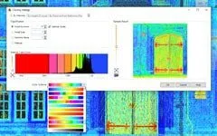
Point Cloud Visualisation
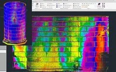
Point cloud visualisation & advanced colouring management tools to rapidly see the finest details of point clouds.
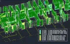
Deformation Analysis Tools
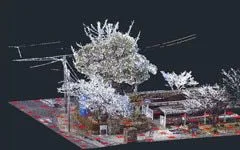
Draping Tools
Automatically drapes polylines, blocks, points to the mesh surface or point cloud points finding the actual ground surface by eliminating noise (bushes, trees, cars etc).
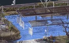
Ground Surface Meshing
Surface meshing and editing tools, to extract the ground surface level from unclassified point cloud data, by eliminating real-world objects (trees, cars, noise, poles etc).
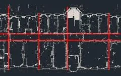
Find Axis Tools
Work Plane (UCS) Tools
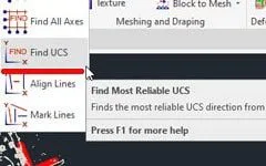
UCS Tools Finder
Finds the most reliable UCS direction from selected lines, with an option to align the rest of the lines to selected UCS.
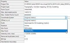
Georeferenced Data Support
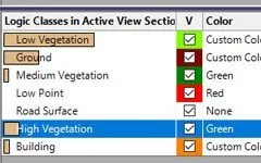
Logic Classes Management
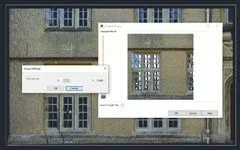
Orthophoto Creation
Roll-out & Export
SmartBoard
