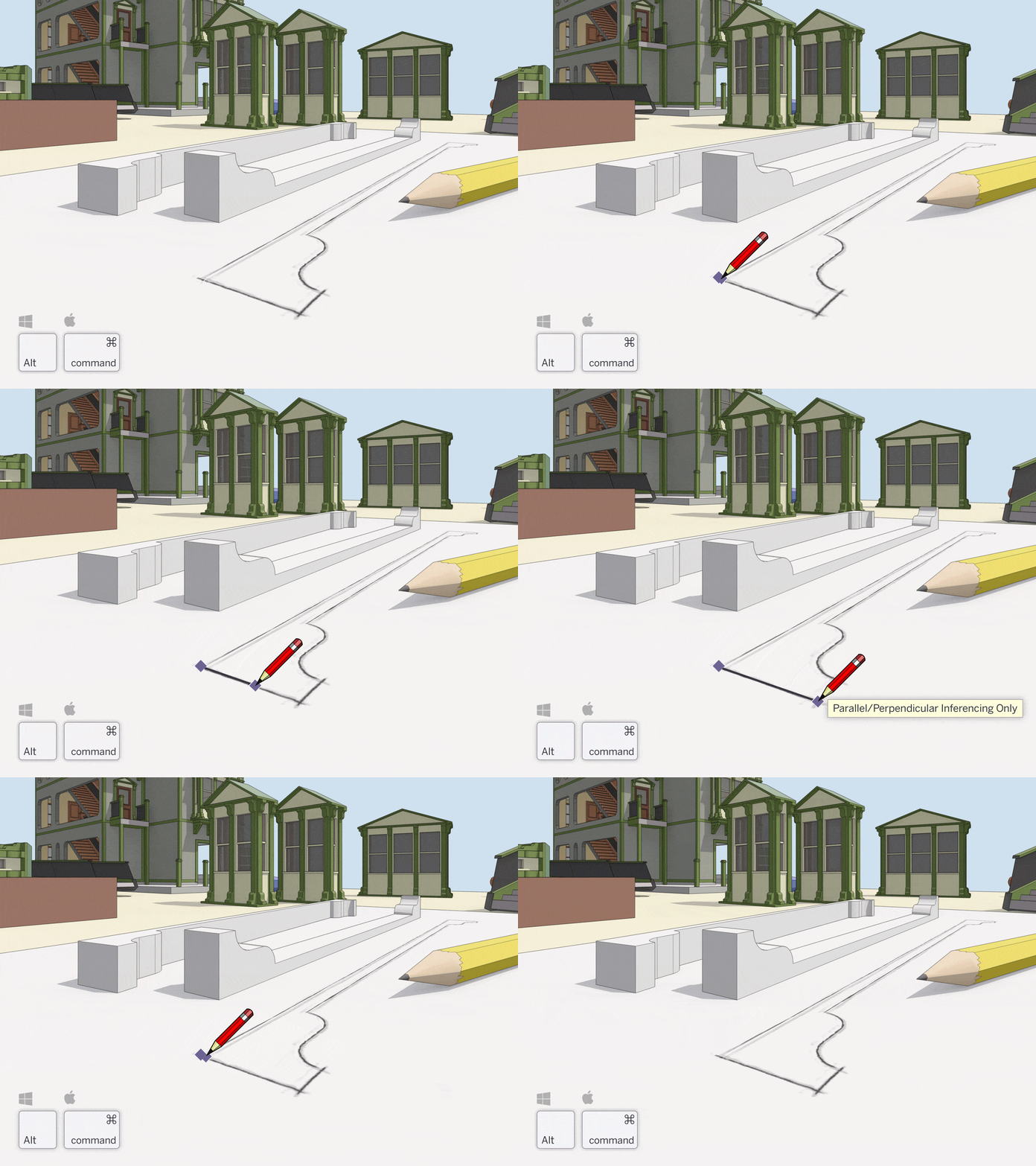
Linear inference toggles for the Line tool in SketchUp
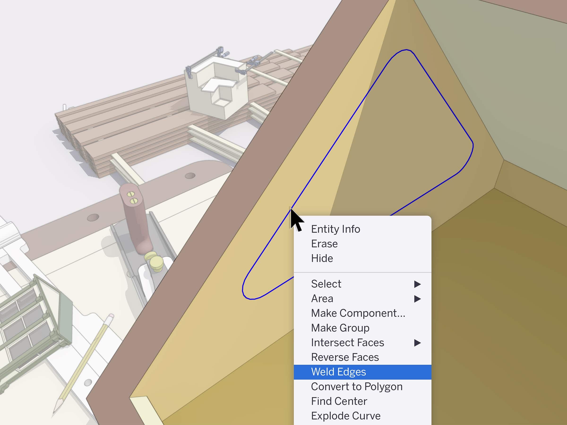
Weld Edges in SketchUp
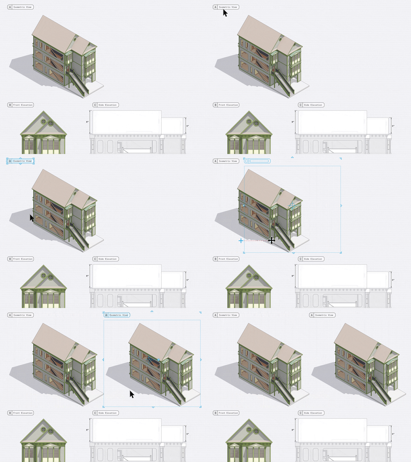
Control line width, colour, and pattern by tag in LayOut
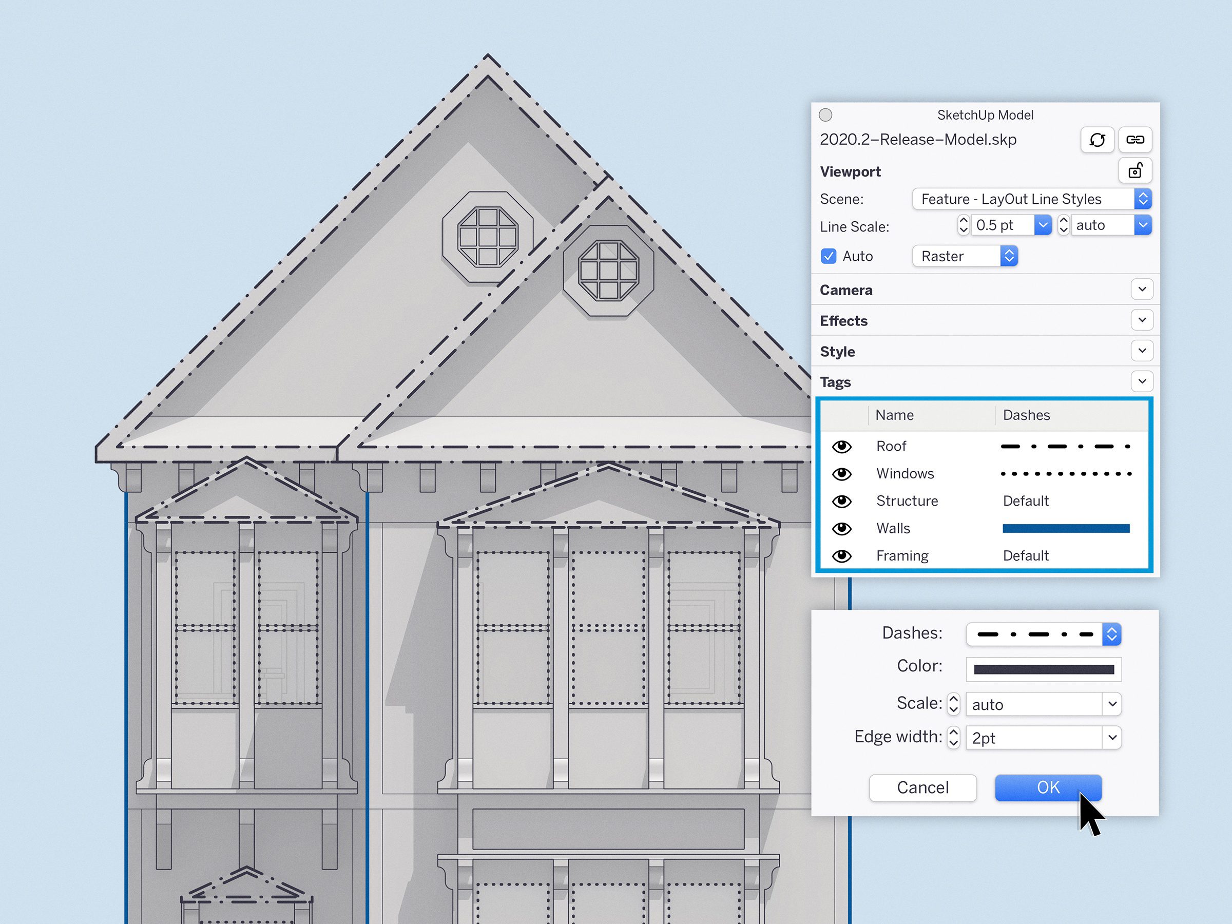
Whether you need control of line styles for architectural drawings, production drawings, and details, or general illustration, we’d love to hear your impressions… or better yet, see your work. Share some examples of the drawings you create (or would like to make) in SketchUp and LayOut using the hashtag #LearnLayOut
Smoother operations in larger LayOut documents
Introducing Nearmap: Add some fresh, high-res details to your 3D designs

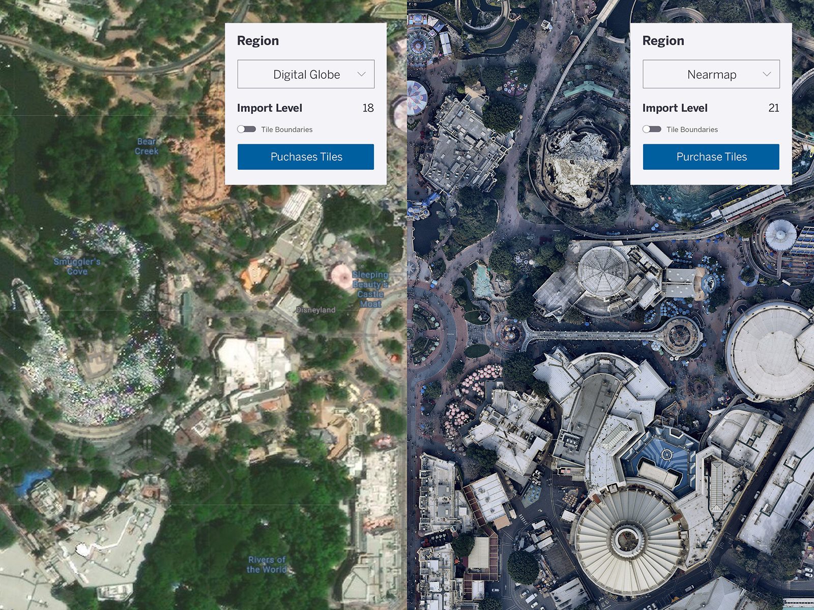
How can I get high-resolution imagery?
Great question. Nearmap will be available to purchase on an as-needed basis for subscription holders (Pro and Studio) as well as for our Classic license holders. You can pull the data directly into SketchUp and checkout right there. Buy only what you need, without leaving your workflow.
How to get started?
It’s easy to get started and flexible enough to fit in your workflow. To use Nearmap tiles, just follow these simple steps:
-
If you don’t have access to the latest version of SketchUp, upgrade to version 2020.2
-
Click on File > Geo-Location > Add Location. We’ve added coverage polygons to show where high res imagery is available. Psst: make sure High Res Coverage is on under ‘Map Type’, and then zoom in to a region that has high res coverage.
-
Next, click ‘Select Region’ and choose Nearmap as your provider. Now you can adjust the import level to choose your resolution. Once you’ve selected your region and import level, you will see the cost of those tiles via the menu.
Note: you won’t be able to preview Nearmap tiles in the map view, but you will notice a slight white overlay that changes to represent the tiles at your selected import level. This also shows which tile can be previewed.
Before you commit to purchasing, you’ll be able to preview single imagery tiles by clicking the preview button. This is a “pay as you go” style product so you can purchase what you want when you want it — which makes things easy! Nearmap is roughly $0.04 per tile (tiles are 256×256 pixel images) and is subject to a 200 tile minimum.
Currently, this imagery is available for all major cities and suburbs in the U.S., Canada, Australia, and New Zealand. SketchUp & Nearmap are constantly expanding and updating aerial maps — surveying 330,000+ square miles each year! Whoa, that’s a lot of data.
Try out Nearmap on your next project and see the [high resolution] difference in your urban planning or landscape architecture projects. After all, real projects require real-world imagery.
Happy SketchUpping!
