
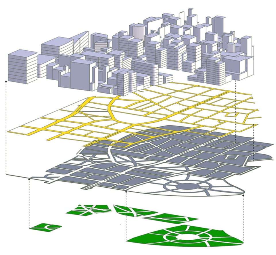
Build the study area before the first workshop
Use PlaceMaker and SketchUp to assemble geolocated streets, terrain, buildings, water and paths. Keep that context ready for every option.
Bring a broad study area into the model without tracing every street and building by hand.
Layer in survey, CAD and other source material where the proposal needs more detail.
Test several schemes against the same base so comparisons stay consistent.
Compare options, not just presentations
Model development envelopes, height and setback controls, public space and shadow effects side by side. Make the trade-offs visible while options are still open.
Explore density, height and built form while the plan is still open to change.
Model setbacks, height limits and recession planes so the proposal can be read against its constraints.
Compare dates and times to make overshadowing and public-space conversations more concrete.
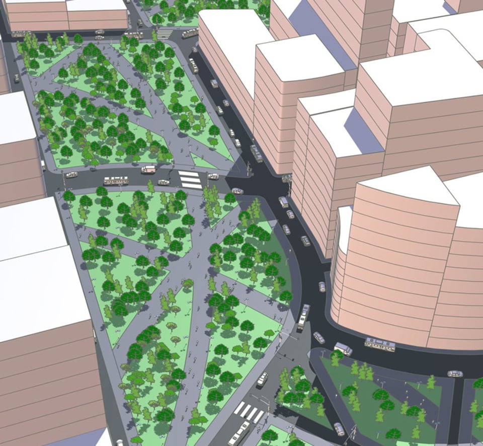
Shared understanding
Make a complex proposal easier to discuss
Translate the model into the format each audience needs without losing the connection to the place.
Accessible visuals
Use stills, animations and walkthroughs to help non-technical audiences understand scale and change.
Linked plans and diagrams
Send model views to LayOut for clear pages, annotations and option comparisons.
Compatible handoffs
Use common CAD exchange formats to keep planners, designers and consultants working from coordinated information.
The urban planning toolkit
 SketchUpSketchUp ProThe professional standard for 3D modelling - desktop, web and iPad, with LayOut for 2D documentation.SketchUpPlaceMakerImport real-world site context into SketchUp in one click - streets, buildings, terrain and high-resolution aerials.
 EnscapeEnscapeThe real-time design companion: rendering, walkthroughs and VR live inside SketchUp, Revit, Rhino, Archicad and Vectorworks.